
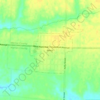
Alexis topographic map
Interactive map
Click on the map to display elevation.
About this map
Name: Alexis topographic map, elevation, terrain.
Location: Alexis, Warren County, Illinois, United States (41.05711 -90.56325 41.06980 -90.54413)
Average elevation: 692 ft
Minimum elevation: 646 ft
Maximum elevation: 722 ft
Other topographic maps
Click on a map to view its topography, its elevation and its terrain.
Roseville
United States > Illinois > Warren County
Roseville, Warren County, Illinois, United States
Average elevation: 738 ft
Monmouth
United States > Illinois > Warren County > Monmouth
Monmouth, Warren County, Illinois, 61462, United States
Average elevation: 761 ft