
Rotan topographic map
Interactive map
Click on the map to display elevation.
About this map
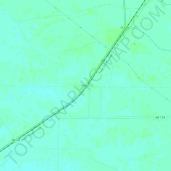
Name: Rotan topographic map, elevation, terrain.
Location: Rotan, Mississippi County, Arkansas, 72329, United States (35.60508 -90.01203 35.64508 -89.97203)
Average elevation: 236 ft
Minimum elevation: 223 ft
Maximum elevation: 253 ft