
Mesía topographic map
Interactive map
Click on the map to display elevation.
About this map
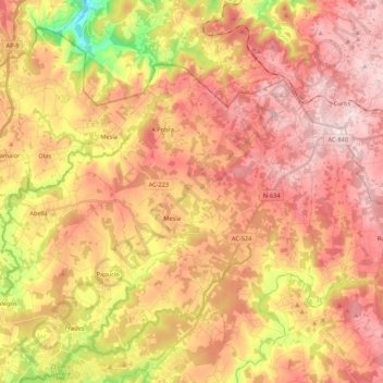
Name: Mesía topographic map, elevation, terrain.
Location: Mesía, Ordes, A Coruña, Galicia, 15685, Spain (43.02024 -8.37259 43.16141 -8.15846)
Average elevation: 1,276 ft
Minimum elevation: 404 ft
Maximum elevation: 1,850 ft