
Owensboro topographic map
Interactive map
Click on the map to display elevation.
About this map
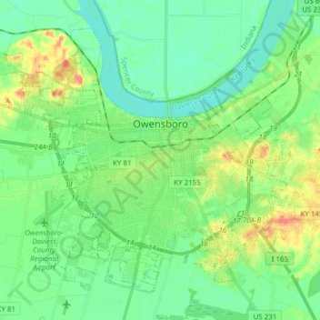
Name: Owensboro topographic map, elevation, terrain.
Location: Owensboro, Daviess County, Kentucky, United States (37.71066 -87.20497 37.81003 -87.05291)
Average elevation: 404 ft
Minimum elevation: 344 ft
Maximum elevation: 535 ft
Other topographic maps
Click on a map to view its topography, its elevation and its terrain.
Livia
United States > Kentucky > Daviess County
Livia, Daviess County, Kentucky, United States
Average elevation: 463 ft
Owensboro
United States > Kentucky > Daviess County > Owensboro
Owensboro, Daviess County, Kentucky, 42, United States
Average elevation: 410 ft