
Tishevitsa topographic map
Interactive map
Click on the map to display elevation.
About this map
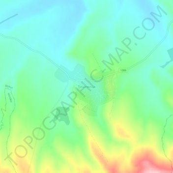
Name: Tishevitsa topographic map, elevation, terrain.
Location: Tishevitsa, Vratsa, Bulgaria (43.24405 23.73152 43.28405 23.77152)
Average elevation: 935 ft
Minimum elevation: 771 ft
Maximum elevation: 1,332 ft