
Foster topographic map
Interactive map
Click on the map to display elevation.
About this map
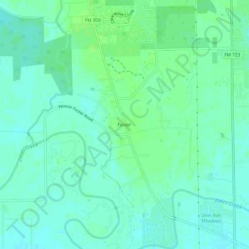
Name: Foster topographic map, elevation, terrain.
Location: Foster, Fort Bend County, Texas, United States of America (29.63051 -95.85217 29.67051 -95.81217)
Average elevation: 105 ft
Minimum elevation: 89 ft
Maximum elevation: 125 ft