
Sankuru topographic map
Interactive map
Click on the map to display elevation.
About this map
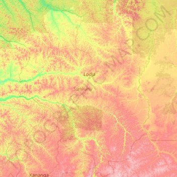
Name: Sankuru topographic map, elevation, terrain.
Location: Sankuru, Democratic Republic of the Congo (-5.85735 21.70058 -1.69391 25.11675)
Average elevation: 1,722 ft
Minimum elevation: 1,168 ft
Maximum elevation: 2,969 ft