
Paulejas topographic map
Interactive map
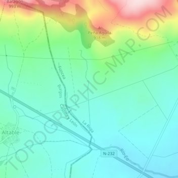
Click on the map to display elevation.
About this map
Name: Paulejas topographic map, elevation, terrain.
Location: Paulejas, Foncea, La Rioja, España (42.59979 -3.07098 42.61979 -3.05098)
Average elevation: 2,405 ft
Minimum elevation: 2,123 ft
Maximum elevation: 3,159 ft