
Fernwood topographic map
Interactive map
Click on the map to display elevation.
About this map
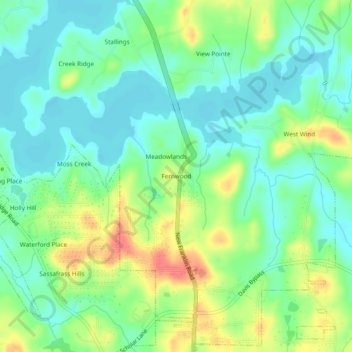
Name: Fernwood topographic map, elevation, terrain.
Location: Fernwood, Troup County, Georgia, United States (33.06901 -85.05049 33.10901 -85.01049)
Average elevation: 699 ft
Minimum elevation: 627 ft
Maximum elevation: 827 ft