
Abrams Village topographic map
Interactive map
Click on the map to display elevation.
About this map
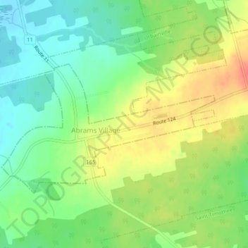
Name: Abrams Village topographic map, elevation, terrain.
Location: Abrams Village, Prince County, Île-du-Prince-Édouard, Canada (46.44852 -64.09262 46.46345 -64.05945)
Average elevation: 75 ft
Minimum elevation: -3 ft
Maximum elevation: 164 ft