
Morkhoven topographic map
Interactive map
Click on the map to display elevation.
About this map
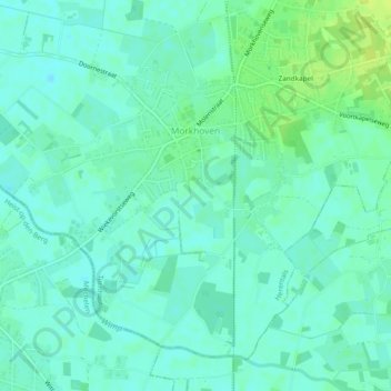
Name: Morkhoven topographic map, elevation, terrain.
Location: Morkhoven, Herentals, Turnhout, Antwerpen, Vlaanderen, België (51.10289 4.78554 51.12787 4.83294)
Average elevation: 39 ft
Minimum elevation: 20 ft
Maximum elevation: 72 ft
Other topographic maps
Click on a map to view its topography, its elevation and its terrain.
Noorderwijk
België > Antwerpen > Turnhout > Herentals
Noorderwijk, Herentals, Turnhout, Antwerpen, Vlaanderen, België
Average elevation: 52 ft