
Tryon topographic map
Interactive map
Click on the map to display elevation.
About this map
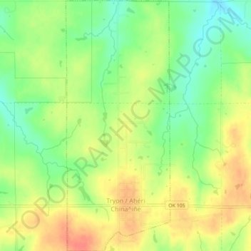
Name: Tryon topographic map, elevation, terrain.
Location: Tryon, Oklahoma, 74875, USA (35.86325 -96.97434 35.89853 -96.95619)
Average elevation: 981 ft
Minimum elevation: 896 ft
Maximum elevation: 1,063 ft