
Killurin topographic map
Interactive map
Click on the map to display elevation.
About this map
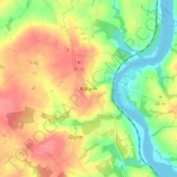
Name: Killurin topographic map, elevation, terrain.
Location: Killurin, County Wexford, Leinster, Y35 CY80, Ireland (52.36379 -6.59853 52.40379 -6.55853)
Average elevation: 125 ft
Minimum elevation: 0 ft
Maximum elevation: 243 ft