
Adonara topographic map
Interactive map
Click on the map to display elevation.
About this map
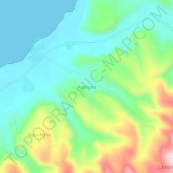
Name: Adonara topographic map, elevation, terrain.
Location: Adonara, East Nusa Tenggara, Indonesia (-8.29133 123.10440 -8.25133 123.14440)
Average elevation: 305 ft
Minimum elevation: 0 ft
Maximum elevation: 991 ft