
Shanersville topographic map
Interactive map
Click on the map to display elevation.
About this map
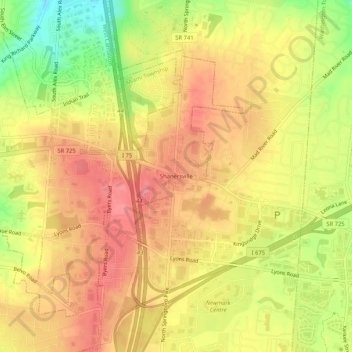
Name: Shanersville topographic map, elevation, terrain.
Location: Shanersville, Montgomery County, Ohio, 45449, USA (39.61756 -84.24494 39.65756 -84.20494)
Average elevation: 932 ft
Minimum elevation: 758 ft
Maximum elevation: 1,033 ft