
Dunmor topographic map
Interactive map
Click on the map to display elevation.
About this map
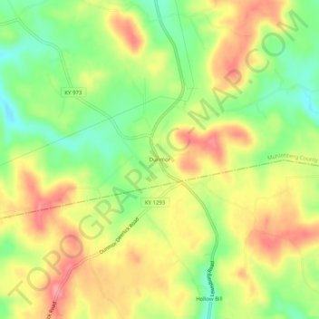
Name: Dunmor topographic map, elevation, terrain.
Location: Dunmor, Muhlenberg County, Kentucky, 42339, USA (37.05366 -87.01611 37.09366 -86.97611)
Average elevation: 587 ft
Minimum elevation: 433 ft
Maximum elevation: 732 ft