
Teton Village topographic map
Interactive map
Click on the map to display elevation.
About this map
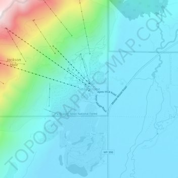
Name: Teton Village topographic map, elevation, terrain.
Location: Teton Village, Teton County, Wyoming, 83025, USA (43.56798 -110.84799 43.60798 -110.80799)
Average elevation: 6,804 ft
Minimum elevation: 6,260 ft
Maximum elevation: 9,629 ft