
Merrill Place topographic map
Interactive map
Click on the map to display elevation.
About this map
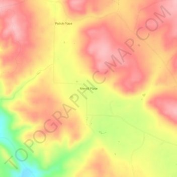
Name: Merrill Place topographic map, elevation, terrain.
Location: Merrill Place, McKinley County, New Mexico, USA (35.32558 -108.50480 35.36558 -108.46480)
Average elevation: 7,979 ft
Minimum elevation: 7,677 ft
Maximum elevation: 8,130 ft