
Calverton topographic map
Interactive map
Click on the map to display elevation.
About this map
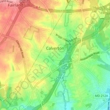
Name: Calverton topographic map, elevation, terrain.
Location: Calverton, Montgomery County, Maryland, United States (39.03124 -76.97946 39.07804 -76.91850)
Average elevation: 262 ft
Minimum elevation: 102 ft
Maximum elevation: 443 ft