
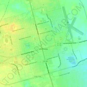
Andrews topographic map
Interactive map
Click on the map to display elevation.
About this map
Name: Andrews topographic map, elevation, terrain.
Location: Andrews, Andrews County, Texas, 79714, United States (32.30271 -102.57387 32.34019 -102.52188)
Average elevation: 3,179 ft
Minimum elevation: 3,140 ft
Maximum elevation: 3,212 ft