
Knightsville topographic map
Interactive map
Click on the map to display elevation.
About this map
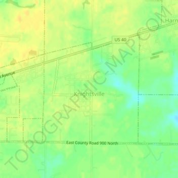
Name: Knightsville topographic map, elevation, terrain.
Location: Knightsville, Clay County, Indiana, 47857, USA (39.51776 -87.09890 39.53425 -87.07981)
Average elevation: 679 ft
Minimum elevation: 630 ft
Maximum elevation: 709 ft