
Baramulla topographic map
Interactive map
Click on the map to display elevation.
About this map
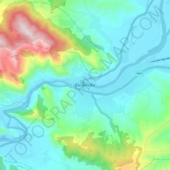
Name: Baramulla topographic map, elevation, terrain.
Location: Baramulla, Kupwara, Jammu and Kashmir, India (34.16869 74.30350 34.24869 74.38350)
Average elevation: 5,758 ft
Minimum elevation: 5,144 ft
Maximum elevation: 7,740 ft