
Birdsall topographic map
Interactive map
Click on the map to display elevation.
About this map
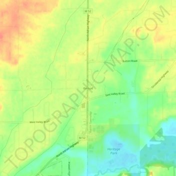
Name: Birdsall topographic map, elevation, terrain.
Location: Birdsall, Lenawee County, Michigan, USA (41.92199 -84.02439 41.96199 -83.98439)
Average elevation: 784 ft
Minimum elevation: 705 ft
Maximum elevation: 853 ft