
De Veaux Woods State Park topographic map
Interactive map
Click on the map to display elevation.
About this map
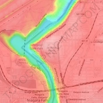
Name: De Veaux Woods State Park topographic map, elevation, terrain.
Average elevation: 545 ft
Minimum elevation: 246 ft
Maximum elevation: 633 ft