
Okavango Delta topographic map
Interactive map
Click on the map to display elevation.
About this map
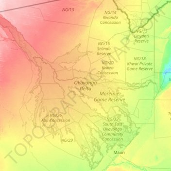
Name: Okavango Delta topographic map, elevation, terrain.
Location: Okavango Delta, North-West District, Botswana (-20.19750 21.66424 -18.11091 23.81687)
Average elevation: 3,133 ft
Minimum elevation: 3,012 ft
Maximum elevation: 3,602 ft
Other topographic maps
Click on a map to view its topography, its elevation and its terrain.