
Highland Mills topographic map
Interactive map
Click on the map to display elevation.
About this map
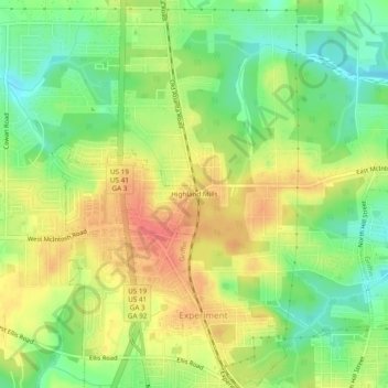
Name: Highland Mills topographic map, elevation, terrain.
Location: Highland Mills, Spalding County, Georgia, 30223, USA (33.25789 -84.30270 33.29789 -84.26270)
Average elevation: 896 ft
Minimum elevation: 797 ft
Maximum elevation: 997 ft