
Geel topographic map
Interactive map
Click on the map to display elevation.
About this map
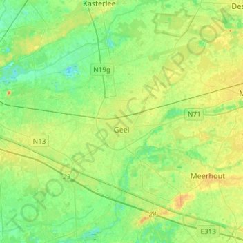
Name: Geel topographic map, elevation, terrain.
Location: Geel, Turnhout, Antwerp, Flanders, 2440, Belgium (51.08926 4.89382 51.24263 5.07770)
Average elevation: 66 ft
Minimum elevation: 16 ft
Maximum elevation: 135 ft