
Kaliopi topographic map
Interactive map
Click on the map to display elevation.
About this map
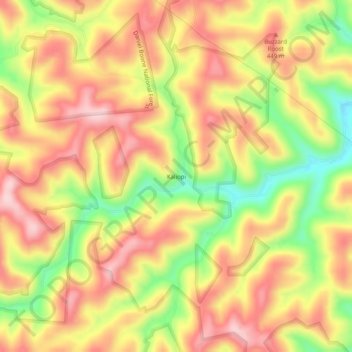
Name: Kaliopi topographic map, elevation, terrain.
Location: Kaliopi, Leslie County, Kentucky, 41730, USA (37.21343 -83.43657 37.25343 -83.39657)
Average elevation: 1,270 ft
Minimum elevation: 837 ft
Maximum elevation: 1,578 ft