
Rough Hills Wilderness Study Area topographic map
Interactive map
Click on the map to display elevation.
About this map
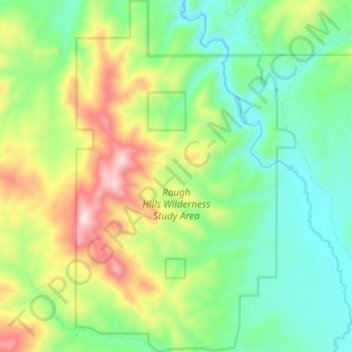
Name: Rough Hills Wilderness Study Area topographic map, elevation, terrain.
Average elevation: 6,552 ft
Minimum elevation: 5,837 ft
Maximum elevation: 7,917 ft