
Dayr Hafir topographic map
Interactive map
Click on the map to display elevation.
About this map
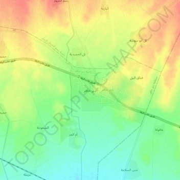
Name: Dayr Hafir topographic map, elevation, terrain.
Location: Dayr Hafir, Dayr Hafir District, Aleppo, Syria (36.11639 37.66370 36.19639 37.74370)
Average elevation: 1,135 ft
Minimum elevation: 1,063 ft
Maximum elevation: 1,220 ft