
Jensen topographic map
Interactive map
Click on the map to display elevation.
About this map
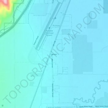
Name: Jensen topographic map, elevation, terrain.
Location: Jensen, Sevier County, Utah, 84701, USA (38.70358 -112.11854 38.74358 -112.07854)
Average elevation: 5,315 ft
Minimum elevation: 5,256 ft
Maximum elevation: 6,056 ft