
Gaysville topographic map
Interactive map
Click on the map to display elevation.
About this map
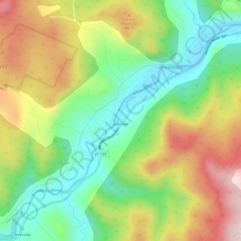
Name: Gaysville topographic map, elevation, terrain.
Location: Gaysville, Windsor County, Vermont, 05746, USA (43.75840 -72.71899 43.79840 -72.67899)
Average elevation: 1,178 ft
Minimum elevation: 584 ft
Maximum elevation: 2,001 ft