
Diesdorf topographic map
Interactive map
Click on the map to display elevation.
About this map
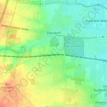
Name: Diesdorf topographic map, elevation, terrain.
Location: Diesdorf, Klein Ottersleben, Magdeburg, Saxony-Anhalt, Germany (52.10307 11.53341 52.14248 11.57604)
Average elevation: 243 ft
Minimum elevation: 177 ft
Maximum elevation: 338 ft