
Wombourne topographic map
Interactive map
Click on the map to display elevation.
About this map
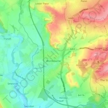
Name: Wombourne topographic map, elevation, terrain.
Average elevation: 367 ft
Minimum elevation: 210 ft
Maximum elevation: 620 ft
Other topographic maps
Click on a map to view its topography, its elevation and its terrain.
Stourton
United Kingdom > England > South Staffordshire > Stourton
Stourton, South Staffordshire, Staffordshire, West Midlands, England, DY7 5BG, United Kingdom
Average elevation: 262 ft