
West Alton topographic map
Interactive map
Click on the map to display elevation.
About this map
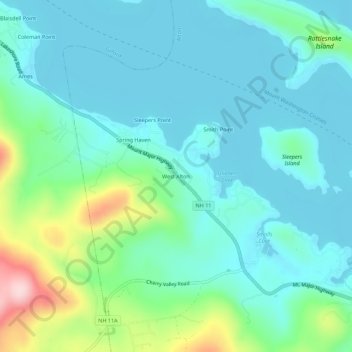
Name: West Alton topographic map, elevation, terrain.
Location: West Alton, Belknap County, New Hampshire, USA (43.53119 -71.33118 43.57119 -71.29118)
Average elevation: 659 ft
Minimum elevation: 486 ft
Maximum elevation: 1,302 ft