
Sådö topographic map
Interactive map
Click on the map to display elevation.
About this map
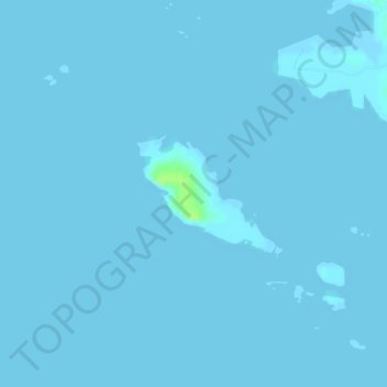
Name: Sådö topographic map, elevation, terrain.
Average elevation: 0 ft
Minimum elevation: -7 ft
Maximum elevation: 33 ft
Other topographic maps
Click on a map to view its topography, its elevation and its terrain.
Noormarkku
Finland > Satakunta > Pori > Noormarkku
Noormarkku, Pori, Porin seutukunta, Satakunta, South-Western Finland, Mainland Finland, 29600, Finland
Average elevation: 108 ft