
Battleship Texas State Historic Park topographic map
Interactive map
Click on the map to display elevation.
About this map
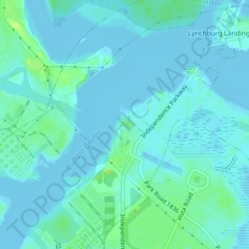
Name: Battleship Texas State Historic Park topographic map, elevation, terrain.
Average elevation: 10 ft
Minimum elevation: -7 ft
Maximum elevation: 46 ft
Other topographic maps
Click on a map to view its topography, its elevation and its terrain.
Lake Houston
Lake Houston, Pine Cone Drive, Sherwood Trails, Houston, Harris County, Texas, 77339, USA
Average elevation: 66 ft
Rummel Creek
Rummel Creek, Houston, Harris County, Texas, TX 77043, USA
Average elevation: 92 ft
Alligator Alley
Alligator Alley, Houston, Harris County, Texas, 773345, USA
Average elevation: 66 ft
Edith L. Moore Nature Sanctuary
Edith L. Moore Nature Sanctuary, Houston, Harris County, Texas, USA
Average elevation: 85 ft