
Jerte topographic map
Interactive map
Click on the map to display elevation.
About this map
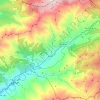
Name: Jerte topographic map, elevation, terrain.
Location: Jerte, Cáceres, Extremadura, 10612, Spain (40.17058 -5.80035 40.28898 -5.68993)
Average elevation: 3,970 ft
Minimum elevation: 1,506 ft
Maximum elevation: 7,766 ft