
Silver Springs State Fish and Wildlife Area topographic map
Interactive map
Click on the map to display elevation.
About this map
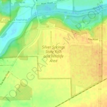
Name: Silver Springs State Fish and Wildlife Area topographic map, elevation, terrain.
Average elevation: 623 ft
Minimum elevation: 554 ft
Maximum elevation: 669 ft