
East Denmark topographic map
Interactive map
Click on the map to display elevation.
About this map
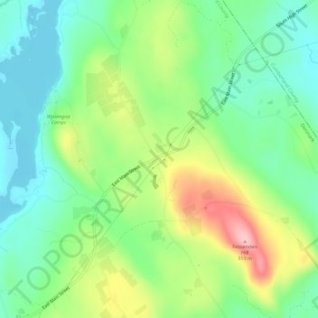
Name: East Denmark topographic map, elevation, terrain.
Location: East Denmark, Oxford County, Maine, 04022, USA (43.97146 -70.79367 44.01146 -70.75367)
Average elevation: 610 ft
Minimum elevation: 400 ft
Maximum elevation: 994 ft