
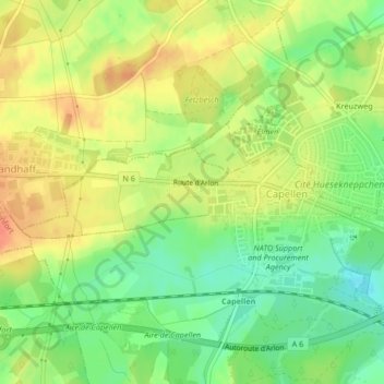
Capellen topographic map
Interactive map
Click on the map to display elevation.
About this map
Name: Capellen topographic map, elevation, terrain.
Location: Capellen, Mamer, Canton Capellen, Luxembourg (49.64221 5.95874 49.64865 5.99692)
Average elevation: 1,040 ft
Minimum elevation: 958 ft
Maximum elevation: 1,115 ft