
Jinba topographic map
Interactive map
Click on the map to display elevation.
About this map
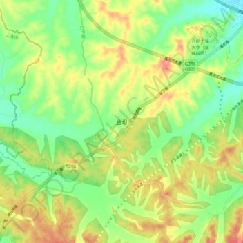
Name: Jinba topographic map, elevation, terrain.
Location: Jinba, Xuanzhou District, Xuancheng City, Anhui, PRC (30.84197 118.63509 30.92197 118.71509)
Average elevation: 174 ft
Minimum elevation: 52 ft
Maximum elevation: 322 ft