
Signal Mountain topographic map
Interactive map
Click on the map to display elevation.
About this map
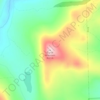
Name: Signal Mountain topographic map, elevation, terrain.
Location: Signal Mountain, Millsfield, Coös County, New Hampshire, USA (44.76139 -71.22763 44.76149 -71.22753)
Average elevation: 2,051 ft
Minimum elevation: 1,673 ft
Maximum elevation: 2,644 ft