
Ueda topographic map
Interactive map
Click on the map to display elevation.
About this map
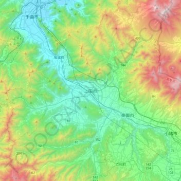
Name: Ueda topographic map, elevation, terrain.
Location: Ueda, Nagano Prefecture, Chubu Region, 386-0025, Japan (36.24212 138.08905 36.56212 138.40905)
Average elevation: 2,959 ft
Minimum elevation: 1,142 ft
Maximum elevation: 7,595 ft