
Send topographic map
Interactive map
Click on the map to display elevation.
About this map
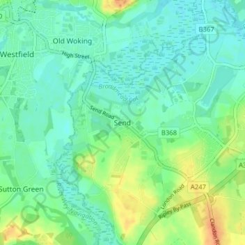
Name: Send topographic map, elevation, terrain.
Location: Send, Surrey, South East, England, GU23 7EZ, United Kingdom (51.27126 -0.55191 51.31126 -0.51191)
Average elevation: 98 ft
Minimum elevation: 59 ft
Maximum elevation: 184 ft