Dent de Savigny topographic map
Interactive map
Click on the map to display elevation.
About this map
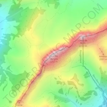
Name: Dent de Savigny topographic map, elevation, terrain.
Average elevation: 5,715 ft
Minimum elevation: 4,524 ft
Maximum elevation: 7,336 ft

Click on the map to display elevation.
Name: Dent de Savigny topographic map, elevation, terrain.
Average elevation: 5,715 ft
Minimum elevation: 4,524 ft
Maximum elevation: 7,336 ft