
Uele topographic map
Interactive map
Click on the map to display elevation.
About this map
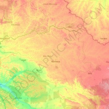
Name: Uele topographic map, elevation, terrain.
Location: Uele, Lower Uele, OR, DR Congo (3.38246 22.43340 4.12812 28.56030)
Average elevation: 1,929 ft
Minimum elevation: 1,152 ft
Maximum elevation: 4,035 ft