
Shol topographic map
Interactive map
Click on the map to display elevation.
About this map
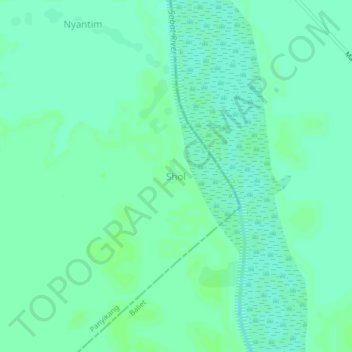
Name: Shol topographic map, elevation, terrain.
Location: Shol, Panyikang, Upper Nile, South Sudan (9.24344 32.05821 9.28344 32.09821)
Average elevation: 1,299 ft
Minimum elevation: 1,283 ft
Maximum elevation: 1,309 ft