
Cooktown topographic map
Interactive map
Click on the map to display elevation.
About this map
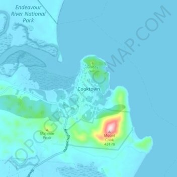
Name: Cooktown topographic map, elevation, terrain.
Location: Cooktown, Queensland, 4895, Australia (-15.51266 145.21342 -15.43266 145.29342)
Average elevation: 72 ft
Minimum elevation: -10 ft
Maximum elevation: 1,339 ft