
Sipura topographic map
Interactive map
Click on the map to display elevation.
About this map
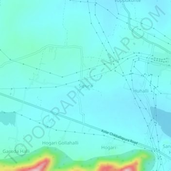
Name: Sipura topographic map, elevation, terrain.
Location: Sipura, Kolar taluk, Kolar district, Karnataka, India (13.15171 78.07707 13.19171 78.11707)
Average elevation: 2,815 ft
Minimum elevation: 2,720 ft
Maximum elevation: 3,478 ft